Perfect your decisions.
Complement your expertise with sensors.
Unveil key data
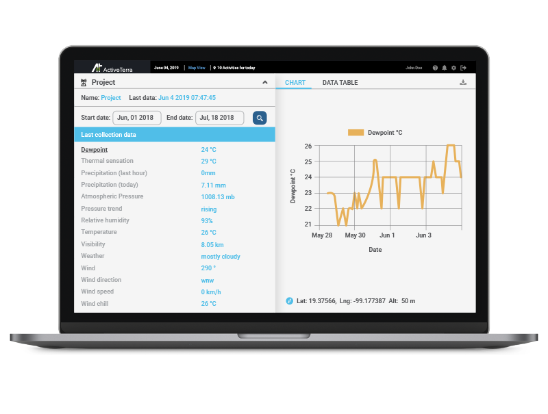
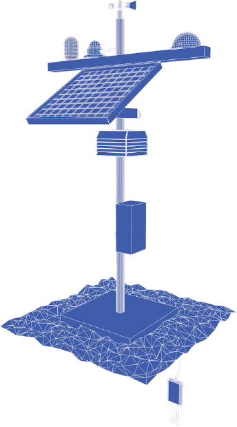
- Customize your climate, soil and nutrient sensors based on your specific needs
- Location tracking and route optimization for equipment, livestock, and personnel
- Automation of irrigation and greenhouse monitoring systems
- Integration of relevant public agronomic data


Watch your blindspots
- Receive periodic overviews of in-season crop health via field imaging by satellite, drone, or light aircraft
- High resolution image processing in Infrared, NDVI and visible RGB if you already have field imaging
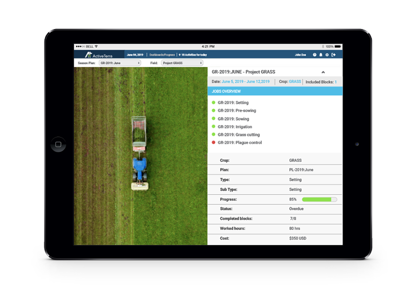
- Correlate imaging with soil, sensor, and job data and optimize processes to maximize yields
Flexible and adaptable
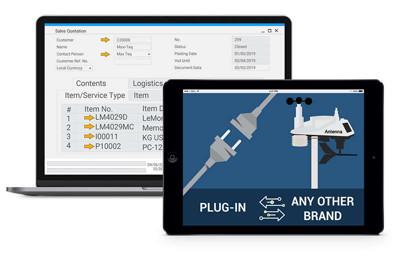
ActiveTerra can be customized to meet your needs through integration of existing ERP systems, business software, telemetry solutions and equipment of any brand

